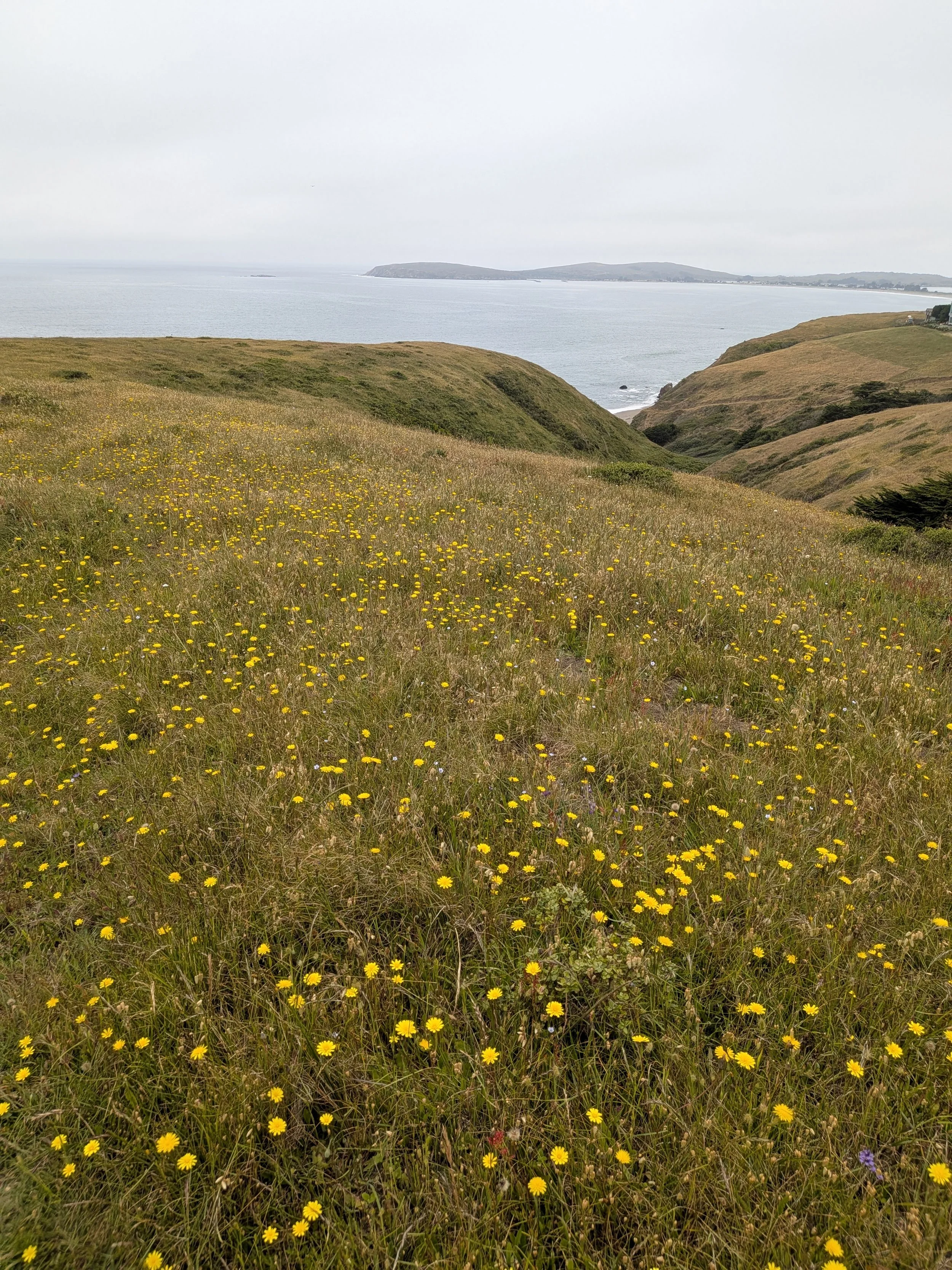
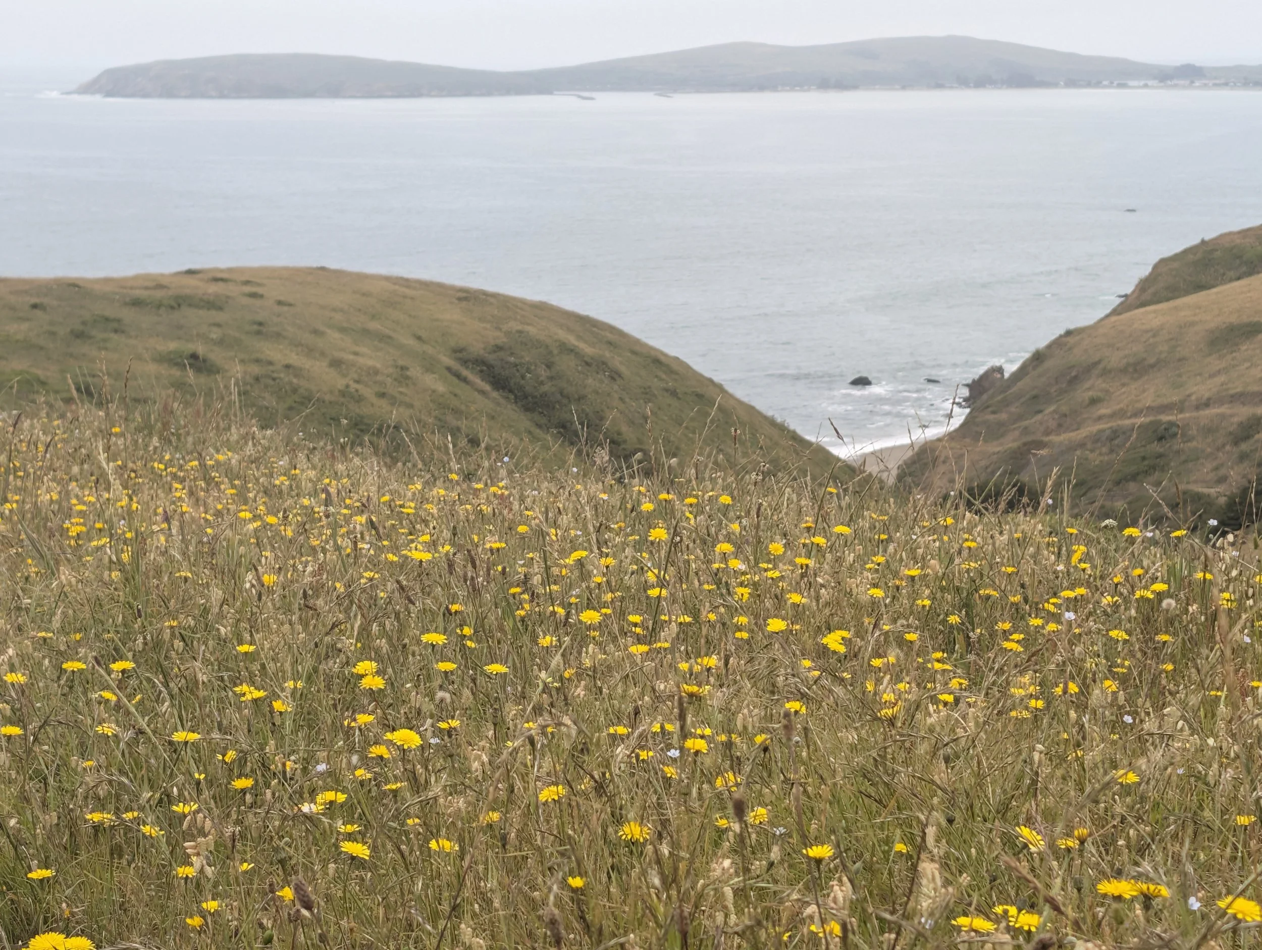
As I was planning our scenic road trip from San Francisco to Sonoma looking for places to stop, I stumbled across the Estero Americano Coast Preserve. The photos immediately caught my eye with the sweeping coastal views and grassy hillsides. It seemed the perfect opportunity to fit in a good hike.
The Estero American Coast Preserve just became available to the public to visit in the last year, so it’s not super well-known or visited yet. The 127 acre preserve is home to many fish and migrating birds of prey and fields of wildflowers and grasses.
If you are in the area near Bodega Bay or planning your own road trip from SF to Sonoma, I highly encourage you to visit. It ended up being one of my all time favorite hikes we’ve ever done.
This guide will help plan your hike with all the details you need including how to get there, where to park, hike specifications, and tips.
Estero Americano Coast Preserve at a Glance
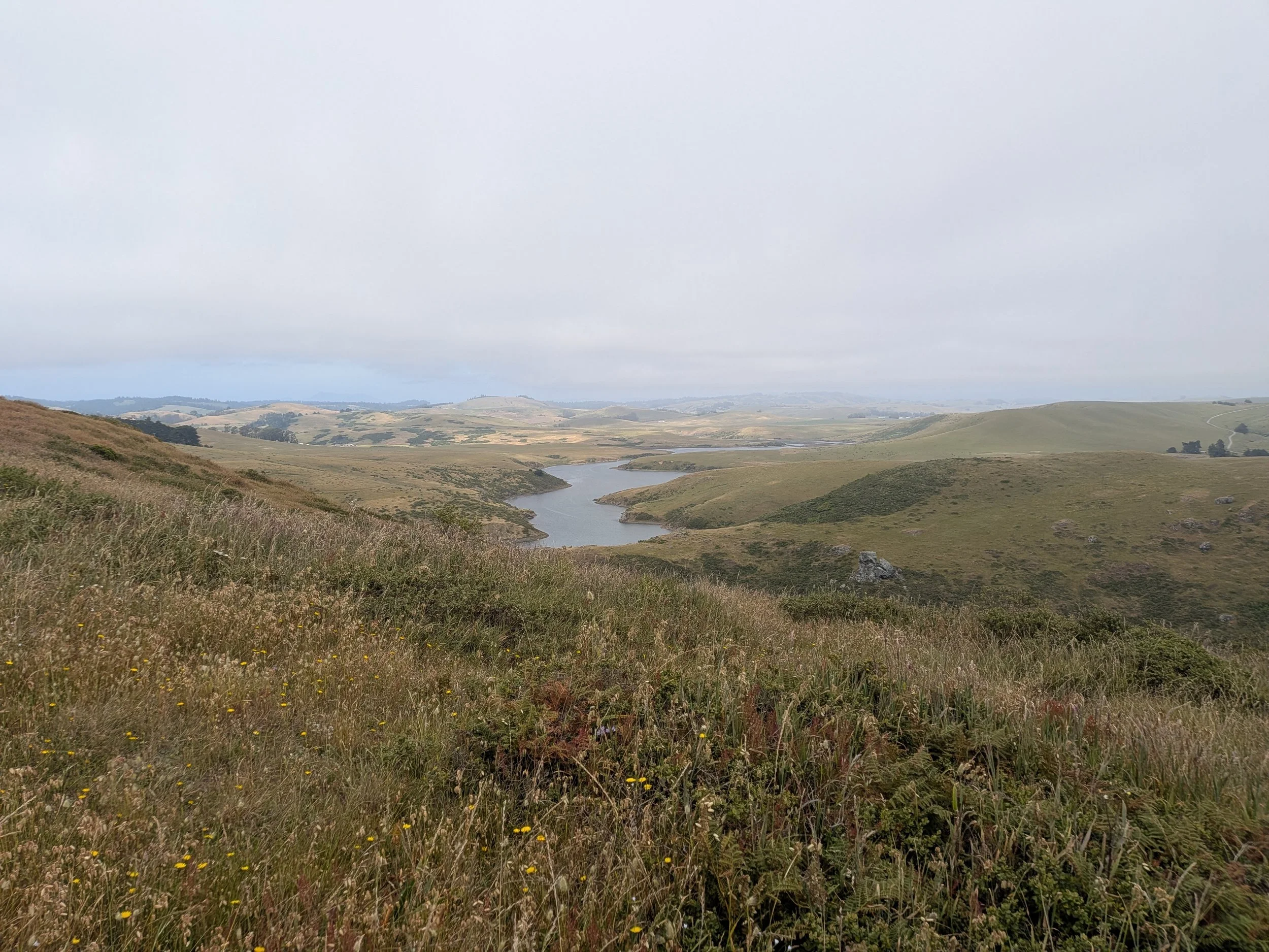
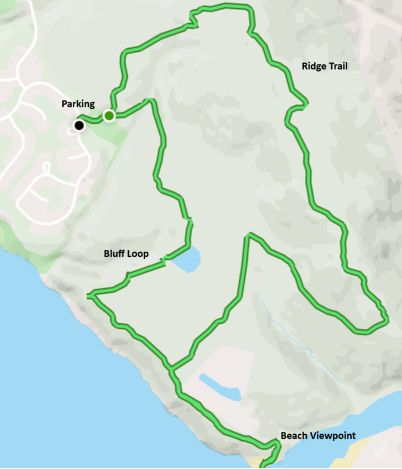
There are two main trails at the Estero Americano Coast Preserve: the Bluff Loop and the Ridge Loop. The Bluff Loop will take you along the coastline and loop back to the trailhead, while the Ridge Loop will take you over the grassy hillsides with sweeping views of the ocean and marshy wetlands.
If you are looking for an easier hike, take the Bluff Loop. We found the trail to be mostly flat and easy to navigate with breathtaking views of the ocean. The Ridge Trail is definitely the more strenuous hike where you will be hiking up and down the hilly terrain.
They both are very different, so if you are up for it we highly recommend combining the two trails for one continuous loop. This is what we did and it took us about 2 hours.
Estero Americano Bluff Loop:
Difficulty: Easy
Distance: 2.9 miles
Estimated Duration: ~1 hour
Estero Americano Ridge Loop:
Difficulty: Moderate
Distance: 2.8 miles
Estimated Duration: ~1 hour
Bluff Loop + Ridge Trail + Beach Viewpoint:
Difficulty: Moderate
Distance: 4.4 miles
Estimated Duration: ~2 hours
How to Get to Estero Americano Coast Preserve & Parking
Directions
From SF: You can get to the preserve in about an hour and a half just taking the 101 north for most of the trip. However, if you want to take a more scenic route like we did take CA-1 which winds through forests and hugs the coastline. It will take you about an hour longer, but it’s a gorgeous drive.
From Sonoma: You can get to the preserve in about an hour from Sonoma as it’s almost directly west of Sonoma. You’ll take Valley Ford Road for most of the trip or if you are traveling to one of the northern towns in Sonoma County you’ll likely take Bodega Highway.
Parking
Parking is almost nonexistent here. There is a small parking lot down the road from the trailhead, but if there is space available along the road just outside the trailhead I’d opt for that. We didn’t have any issues with parking along the road. We were here on a Tuesday afternoon and there were only a few cars, we suspect the weekends have more traffic though.
The trailhead is located just off a secluded neighborhood, so be respectful to those that live there by not parking in the neighborhood or blocking anyone.
Our Hike Experience
The Route: Trail, Difficulty & Elevation
As mentioned before, we opted to take both the Bluff and Ridge routes. They meet up in the middle, so it’s very easy to combine both into one longer hike. Either way, you will all start at the same trailhead. You will begin along a short path and enter a gate where you will find a large map to indicate the trails. Go right/counter-clockwise for the Bluff Trail and left/clockwise for the Ridge Trail. We started off by taking the Bluff Trail to the right.
Shortly after beginning, there is a small bathroom area towards the middle of the paths. We did not stop here, but it is available. You’ll traverse along a flat path surrounded by grassy plains before you are greeted with a spectacular view of the ocean. Most of the first half of the trail is right along a cliff next to the ocean. It was stunningly peaceful.
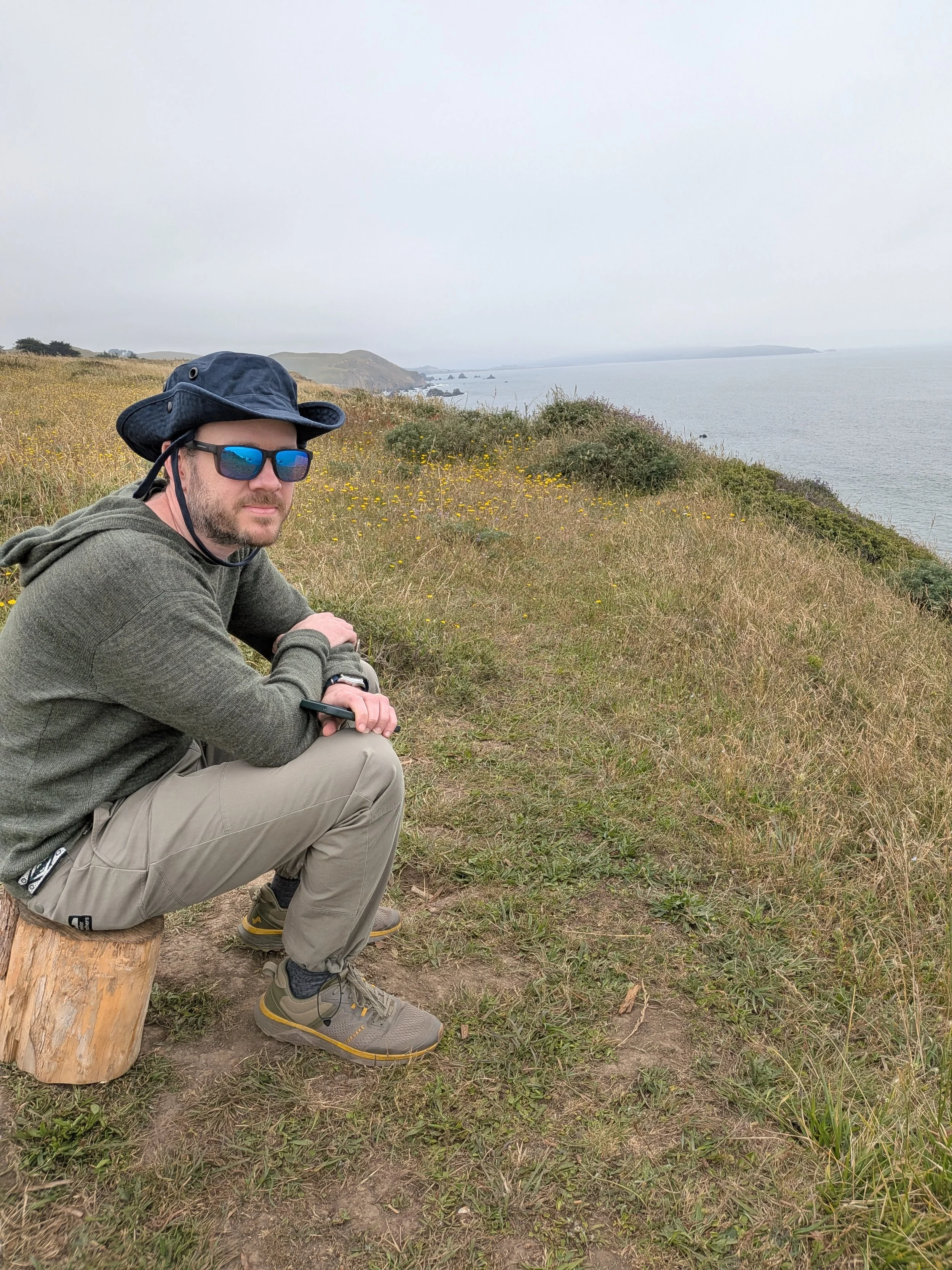
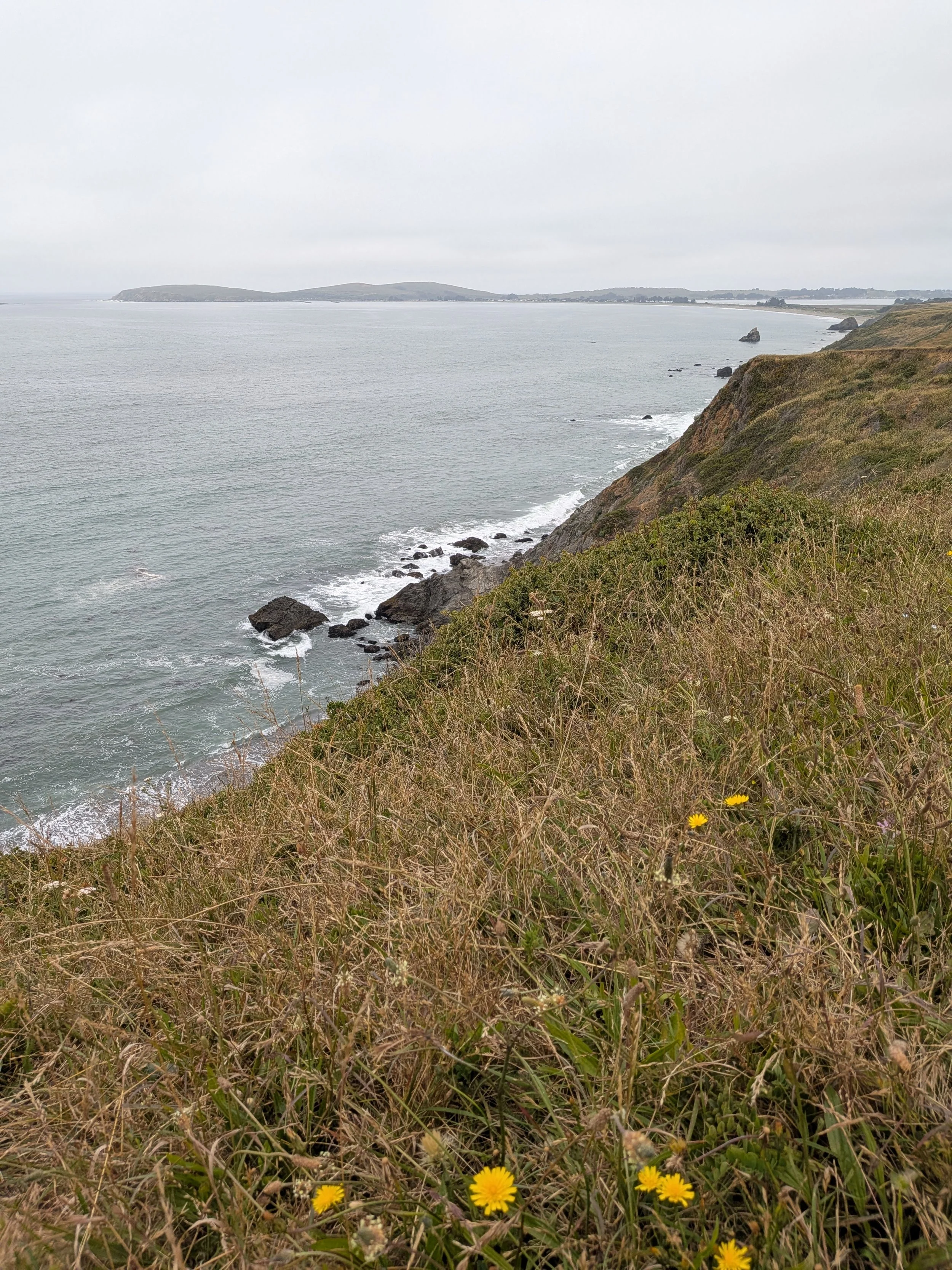
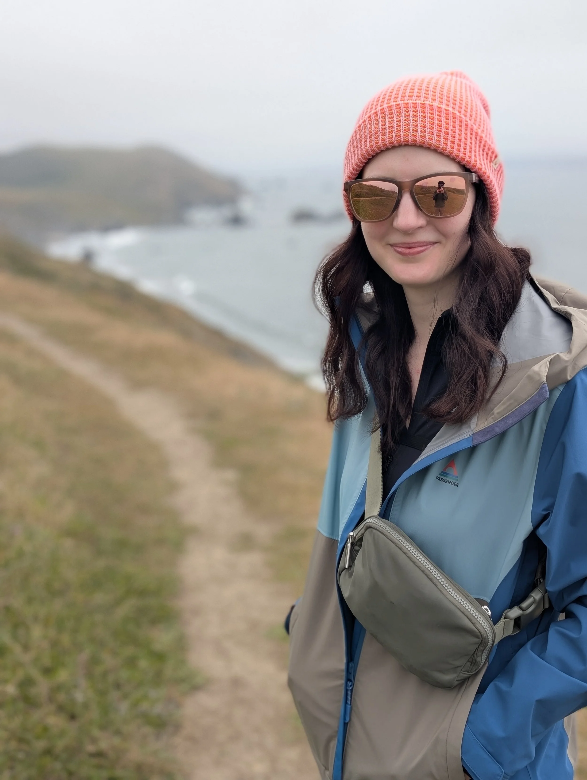
If you so choose, there is an offshoot from the Bluff Trail that takes you down to a beach before you start to loop back around. This section is more strenuous as you will be going downhill for a ways.
There is a lookout point with a picnic table and port-a-potty here, but if you are able scramble down the last bit of rocks and sit at the beach to relax before tackling the Ridge Trail loop.
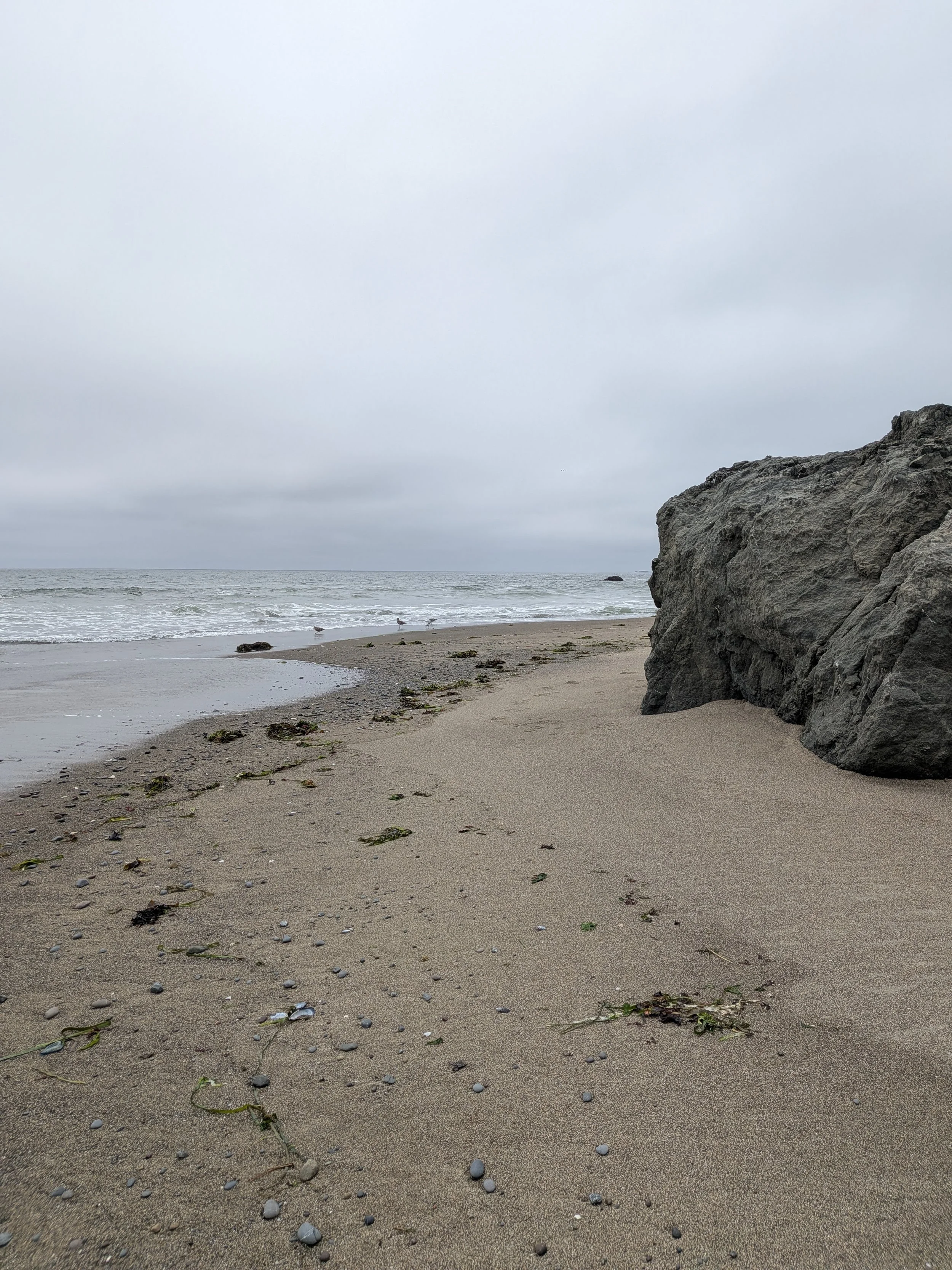
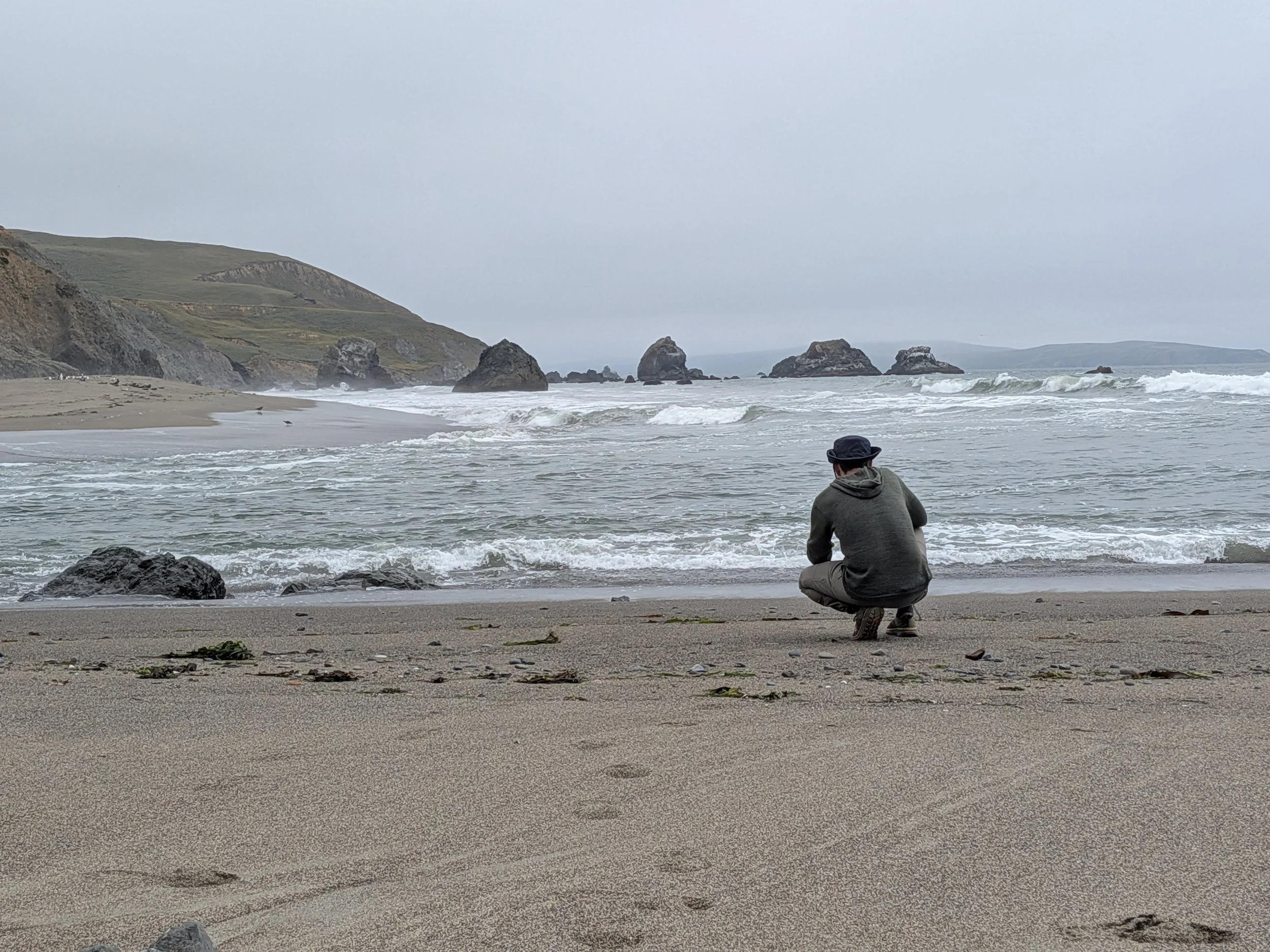
Head back up the way you came to meet back up with the trail and get ready to tackle the Ridge Loop. Make sure you save a map of the trail so you don’t miss it, as there is a trail down the center between the Bluff and Ridge Trails that takes you back to the trailhead.
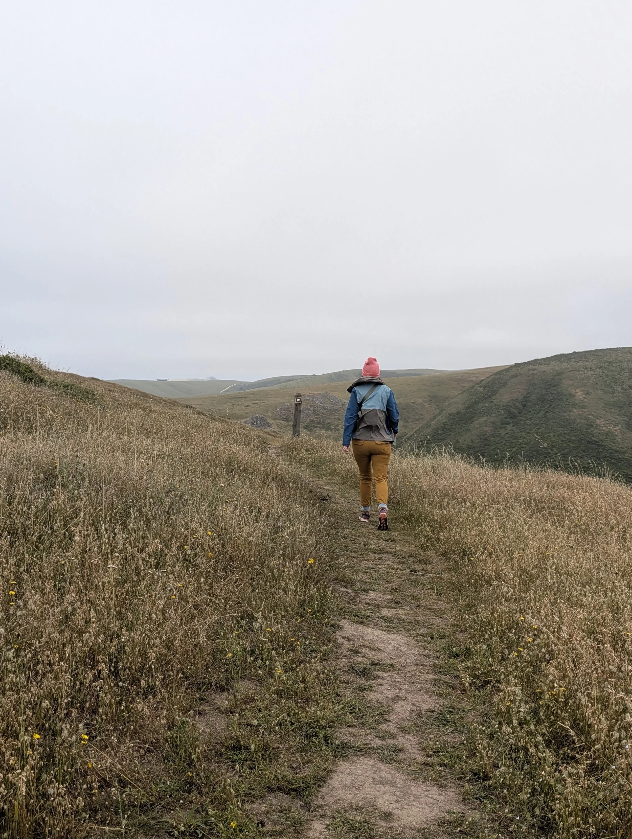
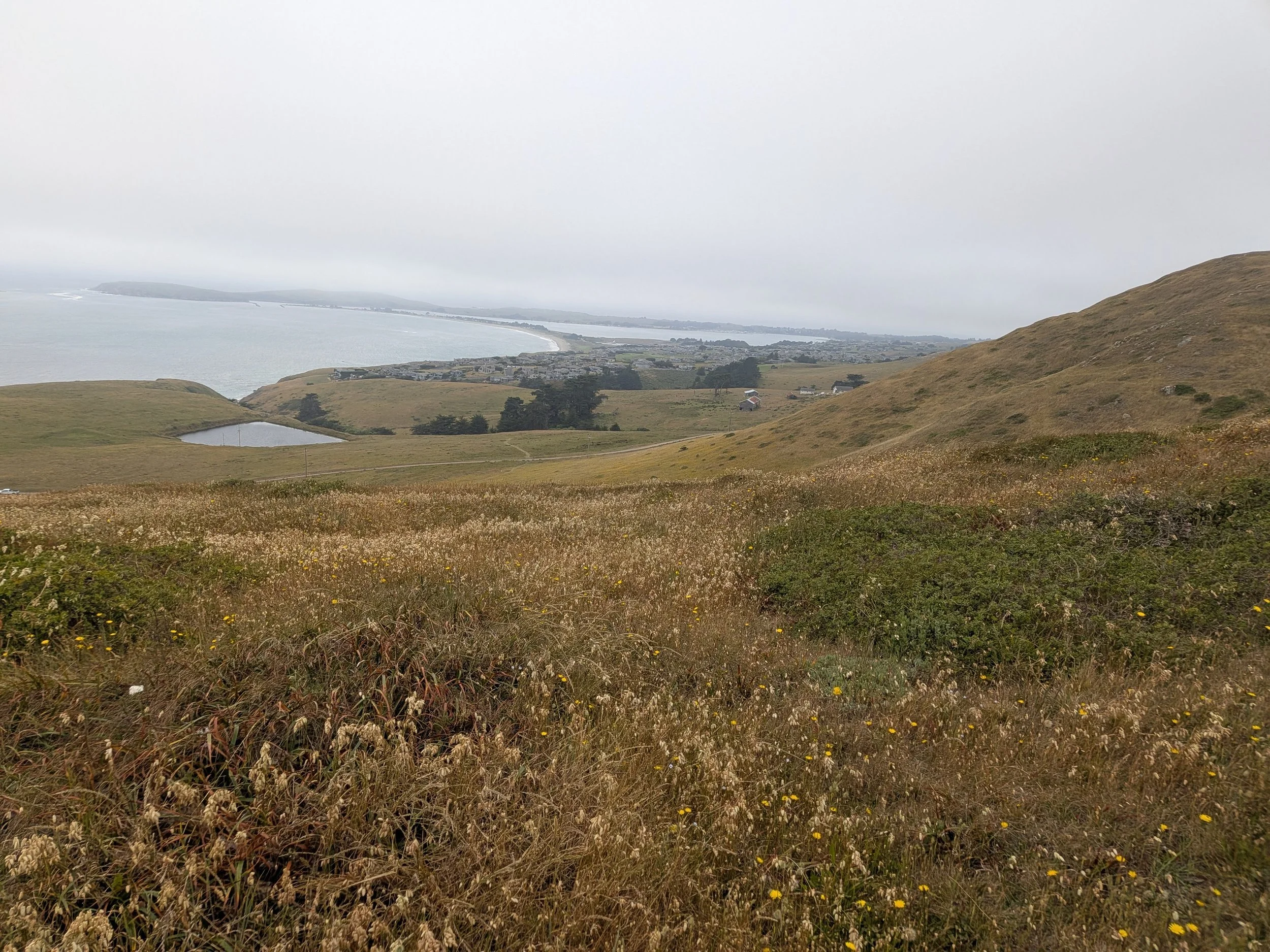
You’ll cross a small road and should see a trail going up along the hillside. From there, just follow the path. The Ridge Trail is definitely more intense, I found myself out of breath climbing up and down the hillsides. I also kept thinking this is the last hill and then would find we were facing another hill to tackle after summiting. My AllTrails summary showed we had a 728 foot elevation gain during the hike. However, it was worth the extra effort as it included some of my favorite views of the whole hike.
From there you will make your way back to where the trails meet and to the trailhead and parking.
Wildlife
We didn’t see much wildlife here, just a few birds. Be on the lookout for ticks though. We checked ourselves after and didn’t have any, but they are known to be in the area especially with all the tall grasses.
Crowds
We went on a Tuesday afternoon and it was blissfully quiet. We only saw a few other people the entire time, just a couple of hikers, a fisherman at the beach and one group of workers in the area. We expect it is busier on the weekends.
Best Time to Visit
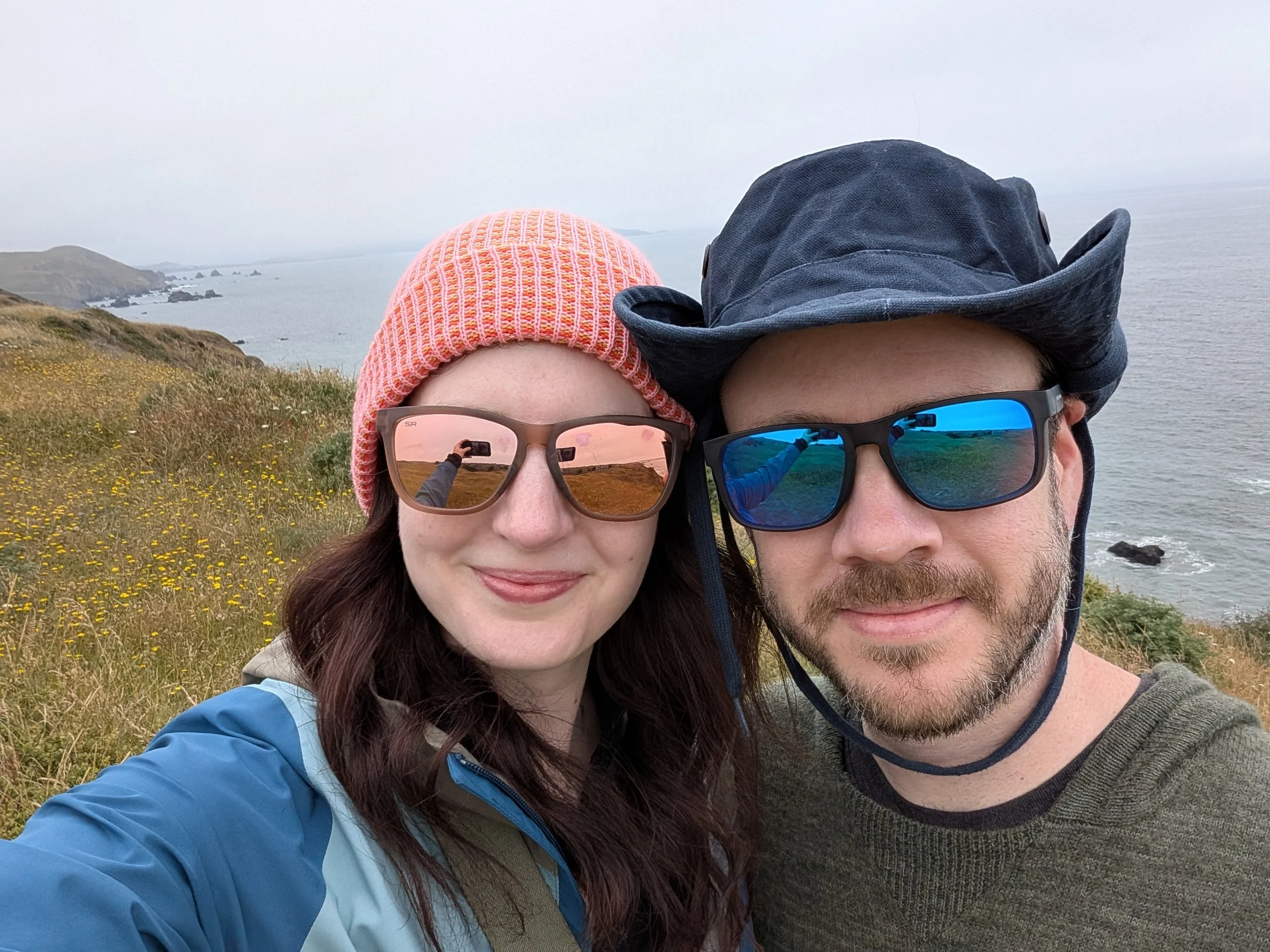
Weather in this area tends to be pretty similar all year round, so it’s likely to be a great place to visit at any time of year. We visited in early June and it was cloudy and cool.
What to Bring
Water bottle
Layers - it can get chilly close to the coast but if you get a sunny day you’ll want to be able to take off any layers
Wear long sleeves and pants to help prevent ticks
Proper hiking shoes
Hat and sunscreen
Frequently Asked Questions
Is Estero Americano Coast Preserve Worth It?
Absolutely! This was one of our favorite hike experiences. It is such a cool landscape with coastline, wetlands and grassy hillsides. It was also so peaceful, you can feel yourself being rejuvenated by surrounding nature.
What are the hours of the Estero Americano Coast Preserve?
Sunrise to sunset
Is there a fee to access the Preserve?
No, entrance is free!
Are dogs allowed?
Dogs are allowed on leash.
Is it good for beginners?
The Bluff Loop is the perfect trail for beginners. It is a simple, easy trail to navigate. The Ridge Loop trail is best for those able to traverse up and down slopes, but is still easily manageable for active adults/kids.
Is there anywhere to eat in the area?
Check out the nearby town of Bodega Bay. It’s only about a 10 minute drive North and is a great coastal small town. We ate at Spud Point Crab Company and had some amazing crab sandwiches and clam chowder.
Planning a trip to Sonoma/Healdsburg?
Check out our related blog posts:
Two Day Healdsburg Itinerary
Where to Stay in Healdsburg: Our Favorite Boutique Hotels for Every Budget
Best Dry Creek Valley Wineries: Our Favorite Tastings & Tours
Where to Eat in Healdsburg; Our Favorite Restaurants
Recommendations